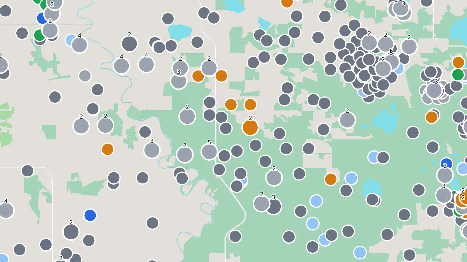
Wells
Every well at its licence's surface location, coloured by status; wells sharing a location stack with a count. Below zoom 11 the wells are counted in the map's bubbles.
Find and open a well.
Layers
What each layer shows and where the data comes from, in the words the map's own help uses. Every layer can be turned on with any other and limited to the same area.
Every well at its licence's surface location, coloured by status; wells sharing a location stack with a count. Below zoom 11 the wells are counted in the map's bubbles.
Find and open a well.
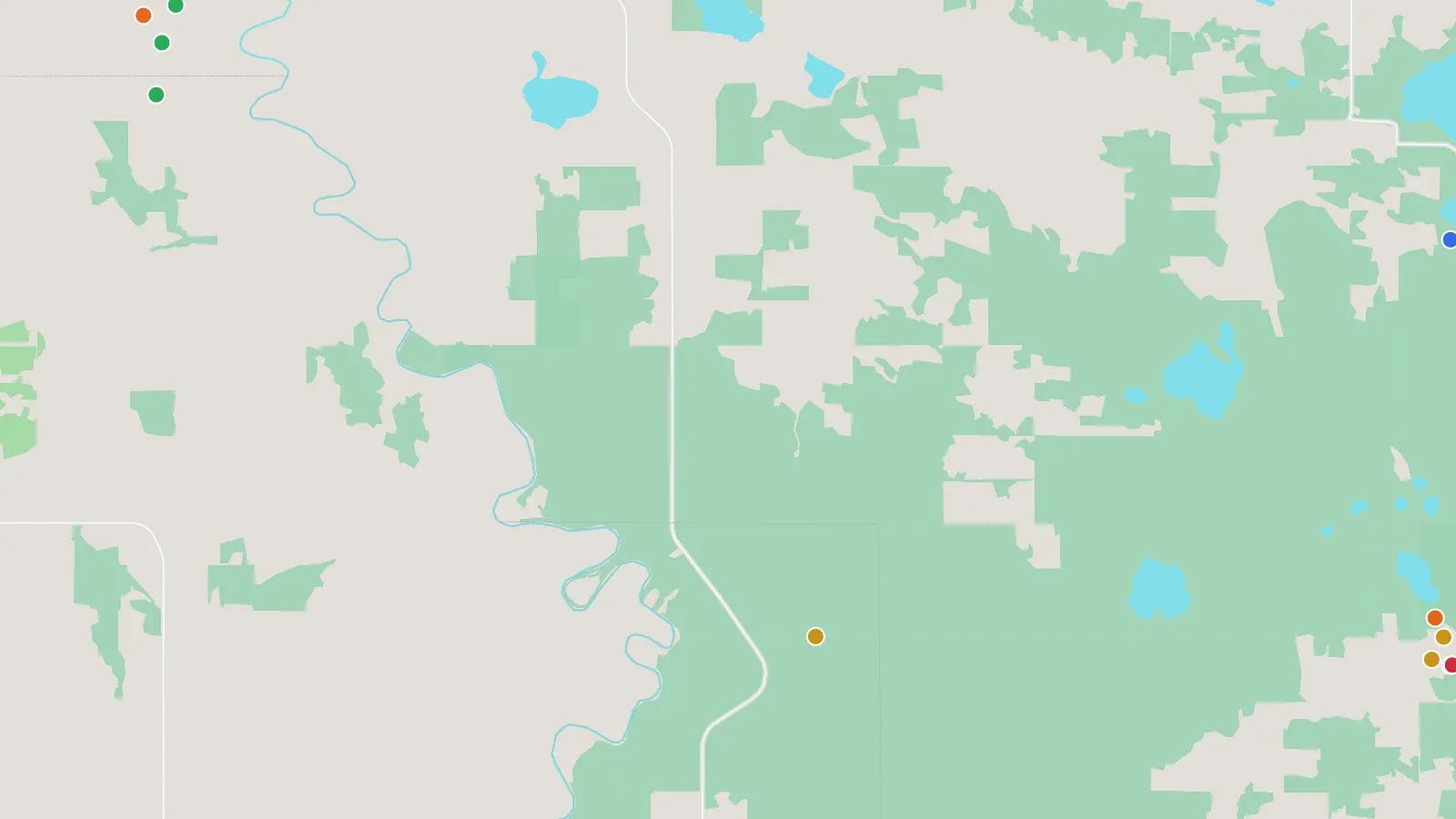
Each producing well, coloured by its main product's rate change per year (gas for gas wells, otherwise oil). Click for the well's chart.
Screening for wells and operators whose production is falling or growing.
Source: Petrinex public data · BCER production data (zip) · Manitoba Petroleum Branch
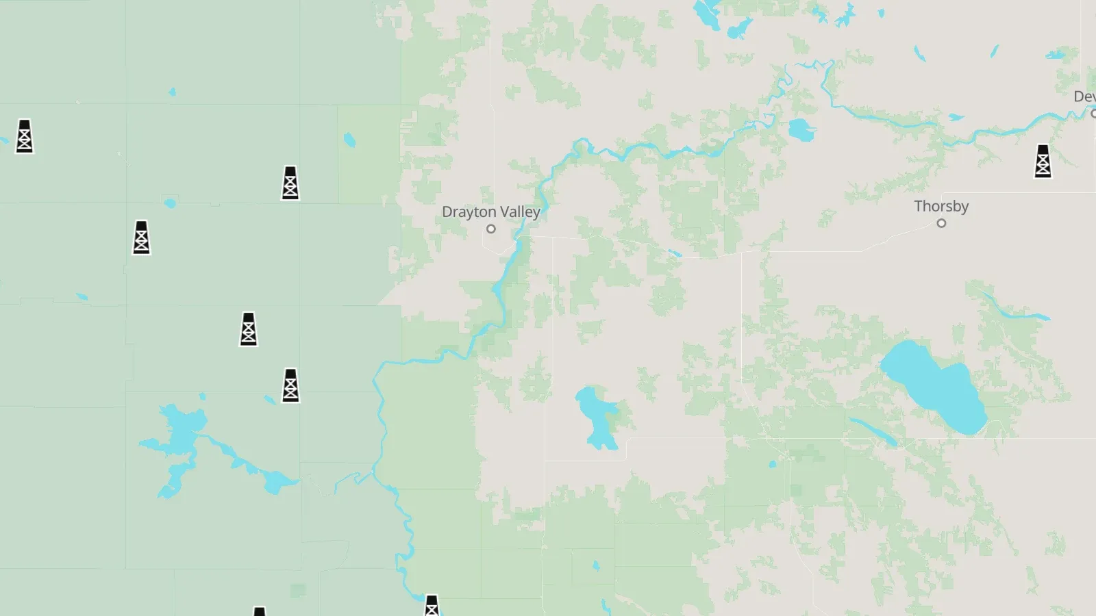
Rigs on a well now, at the well.
Who is drilling where, today.
Source: AER ST49 · AER Directive 059
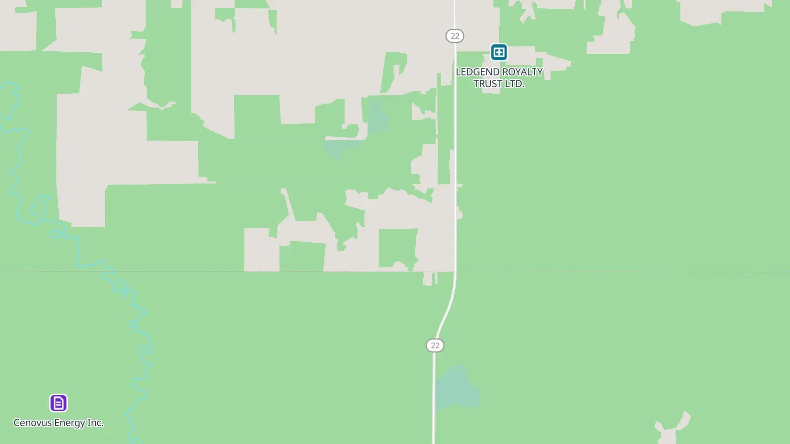
Public steps of a build at its location: applications, licences issued or amended, construction starts, approvals and decisions. The last 12 months.
What operators are about to build or have just started, before it shows as wells or production.
Source: AER ST97 · AER ST100 · AER ST96 · BCER open data · BCER AMS reports · AER Public Notice of Application · AER Publication of Decisions · Saskatchewan project data
Public steps of a build at its location: applications, licences issued or amended, construction starts, approvals and decisions. Older than 12 months, back to 2017.
What operators are about to build or have just started, before it shows as wells or production.
Source: AER ST97 · AER ST100 · AER ST96 · BCER open data · BCER AMS reports · AER Public Notice of Application · AER Publication of Decisions · Saskatchewan project data
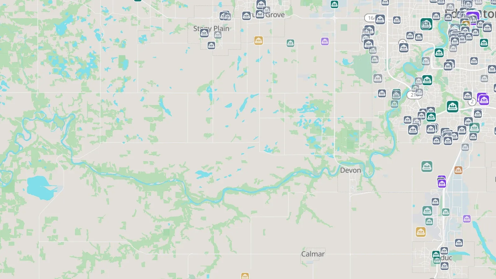
Major projects proposed or under construction (Alberta ≥ $5 M, BC ≥ $15 M), badged by sector and scaled by cost, solid when under construction.
Capital work coming to a region, and who is building it.
Source: Alberta Major Projects · BC Major Projects Inventory
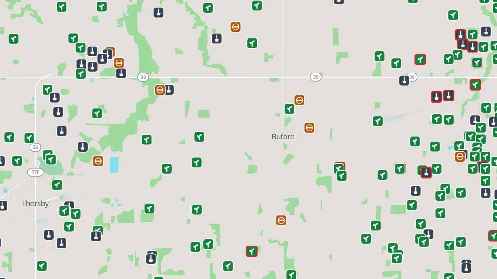
Wells, facilities and pipeline segments in a closure state: inactive or dormant, abandoned, reclaimed; orphans ringed red, AER closure nominations purple.
Where the inactive and abandoned sites are, who holds them, their deemed liability, and which ones landowners have nominated for closure.
Source: AER liability management · Orphan Well Association · BCER AMS reports · Saskatchewan LLR reports · Manitoba orphan inventories · Site Rehabilitation Program · AER Closure Nomination dashboard
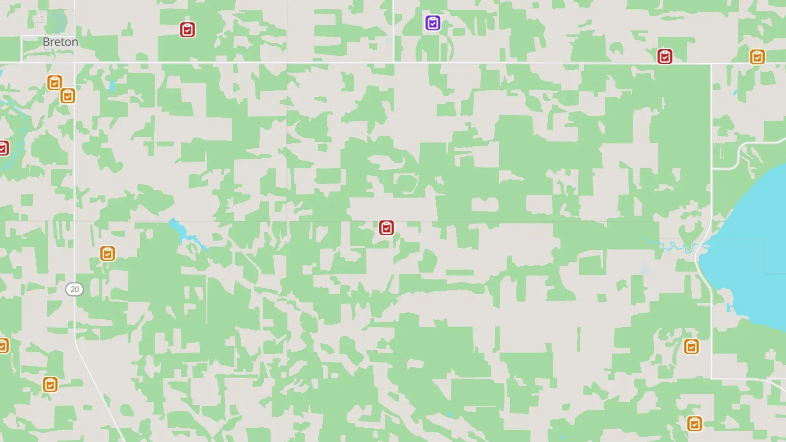
Regulator actions with a location: AER enforcement since mid-2014, and CER inspections and non-compliances on federal pipelines.
Where regulators have acted, and against whom.
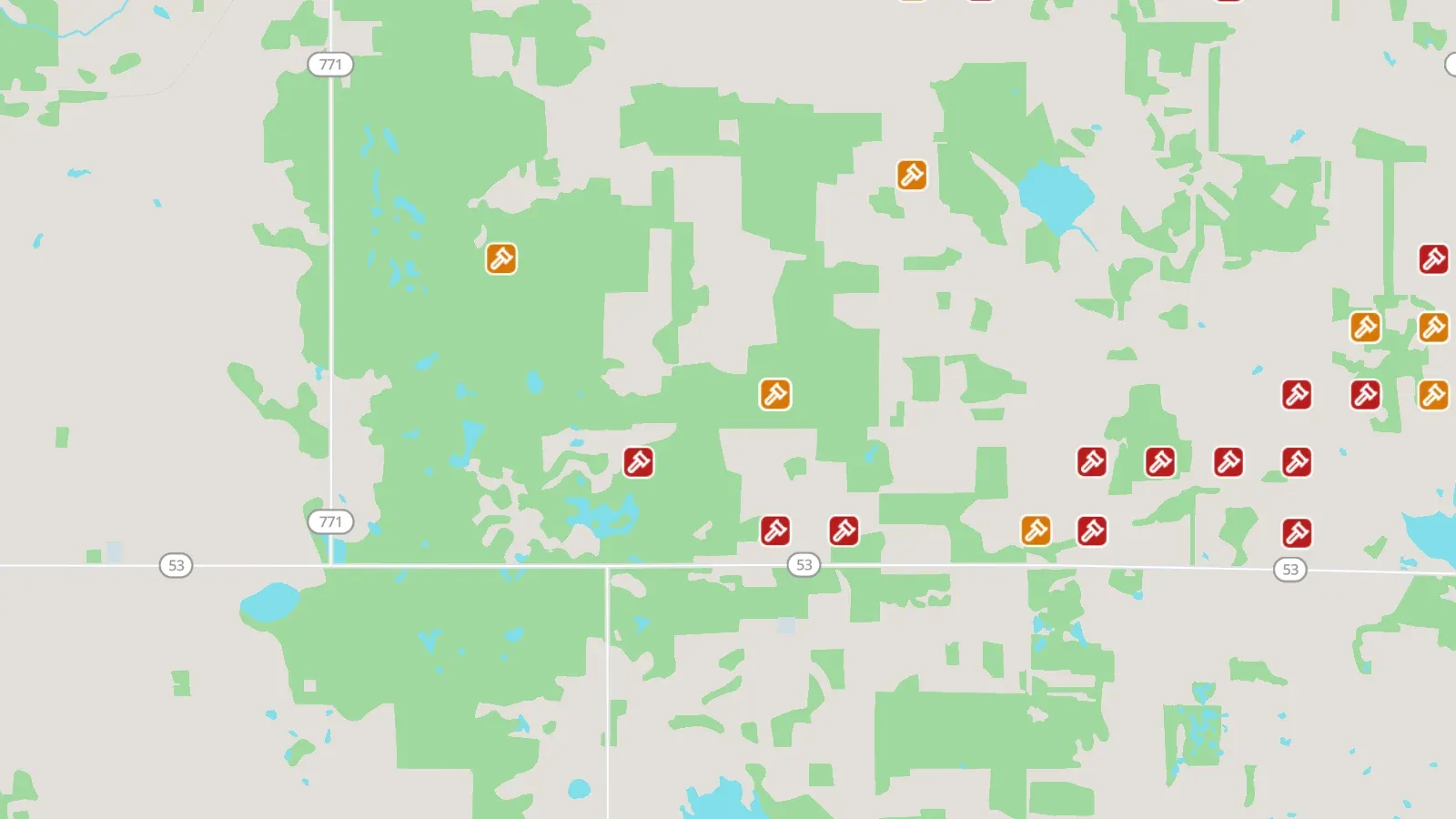
Surface rights board orders: rent recovery directions, compensation, right of entry and appeals, where the order names a licence or land.
Which operators landowners have taken to the board, and where.
Source: Alberta Land and Property Rights Tribunal · Saskatchewan Surface Rights Board of Arbitration · BC Surface Rights Board (CanLII)
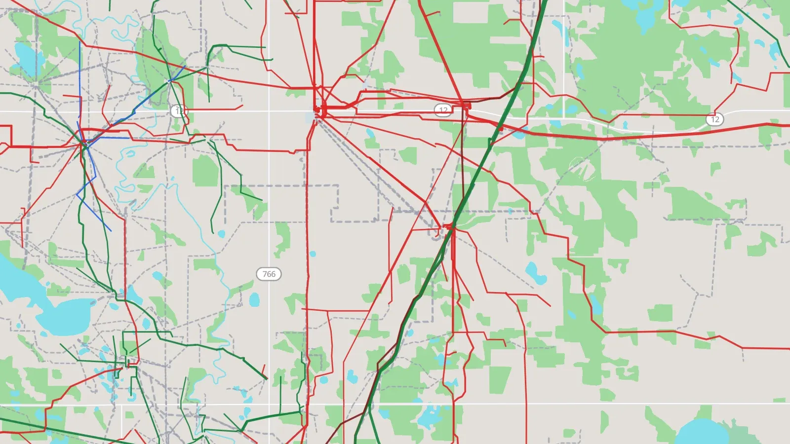
Licensed pipeline segments along their route, coloured by substance, width by diameter; inactive lines dashed grey.
What runs through or near a lease, with its specification (diameter, pressure, H₂S, dates).
Source: AER pipeline data · BCER open data · Saskatchewan GeoHub
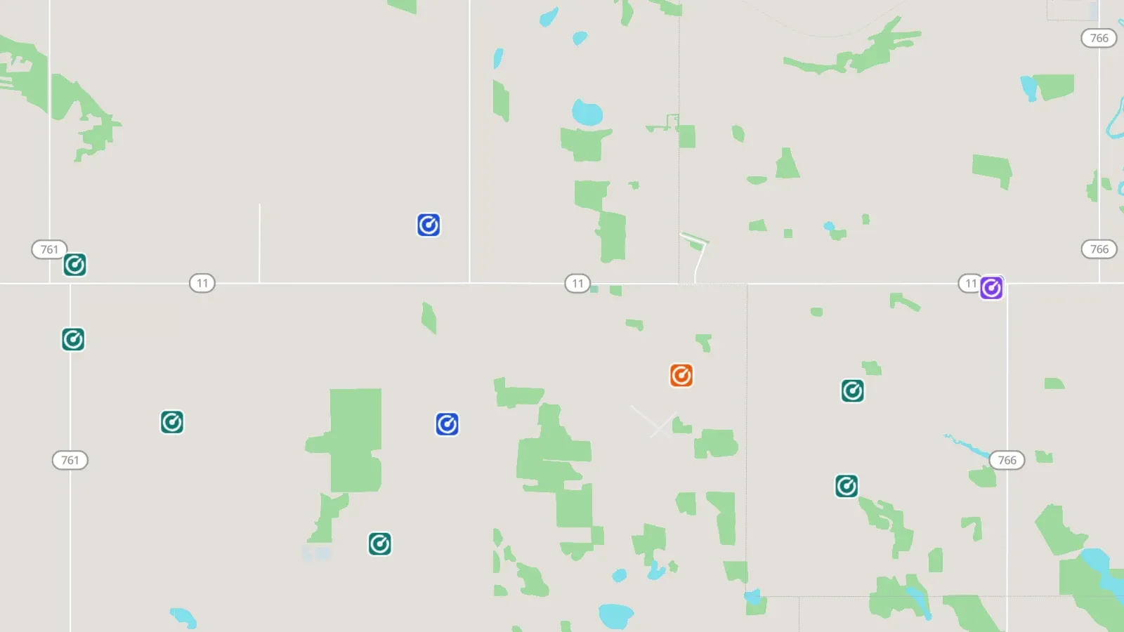
Pipeline installations badged by class: stations, heaters, flares and tanks; BC valves and risers as small badges.
Surface infrastructure along a line.
Source: AER pipeline data · BCER open data
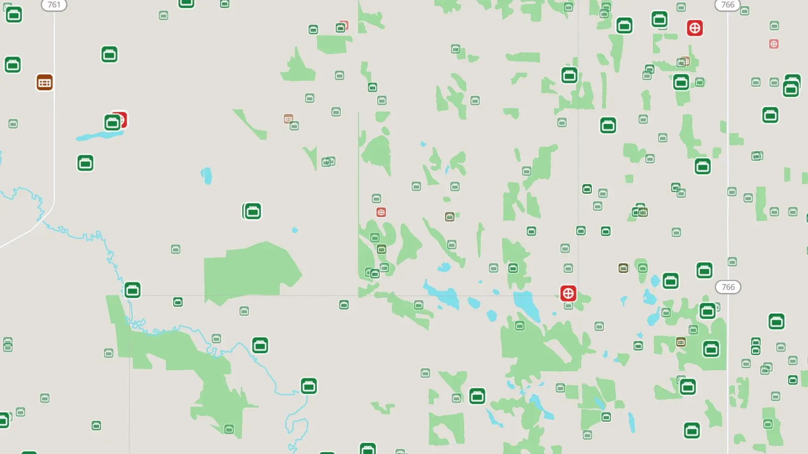
Licensed oil and gas facilities (batteries, gas plants, compressors, disposal, terminals and more), badged by kind; inactive ones faint.
The infrastructure around a lease and who operates it; the card adds throughput, capacity and linked wells.
Source: AER ST102 · BCER facility index · Saskatchewan facility inventory · Manitoba Petroleum Branch
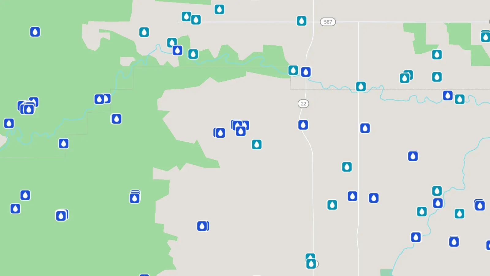
Water licences at their point of diversion: Alberta Water Act authorizations and BC short-term approvals for oil and gas.
Who holds the water around a lease, and how much.
Source: Alberta water licences (MIMAS) · BCER open data
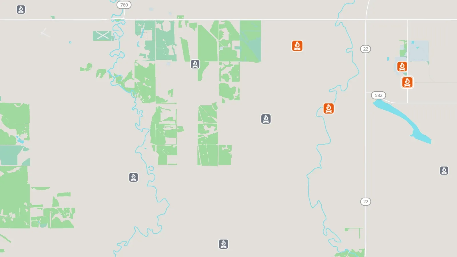
Facilities that flared or vented in the last 12 reported months, sized by volume; orange where flaring dominates, grey where venting does.
Flaring and venting hot spots and the operators behind them.
Source: Petrinex public data · AER ST60 · AER ST13 · BCER AMS reports
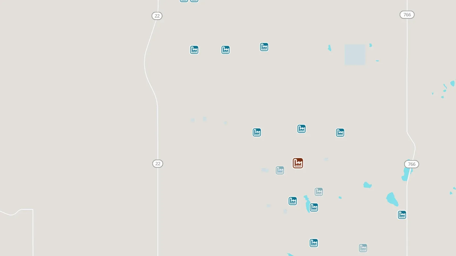
Facilities reporting to the federal GHGRP (greenhouse gases) or NPRI (pollutant releases), sized by the latest year's CO₂e.
Which facilities emit most, and who operates them.
Source: ECCC GHGRP · ECCC NPRI
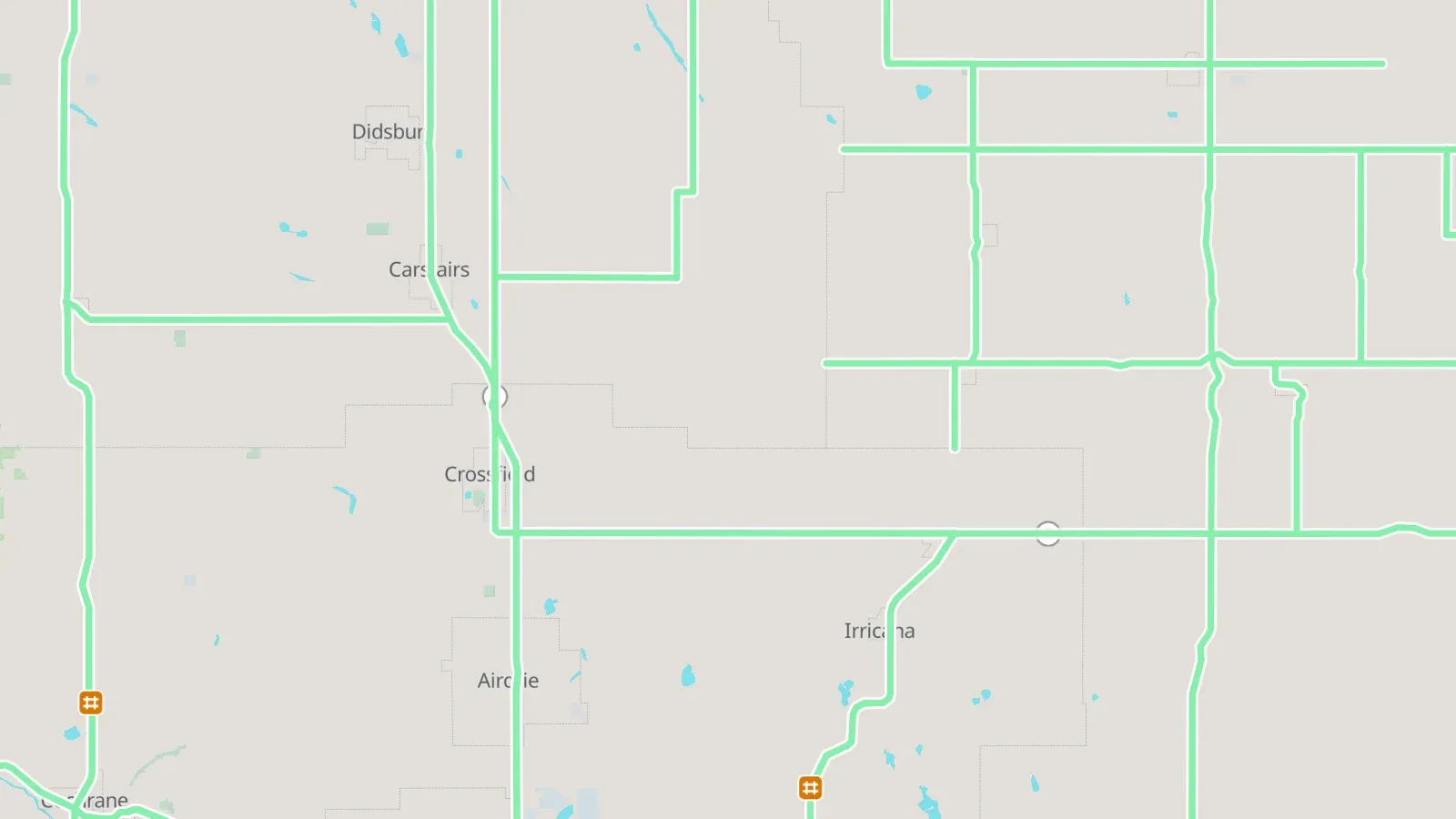
Closures, incidents, restrictions and roadwork now; red X = full closure.
Site access and moving equipment.
Source: 511 Alberta · DriveBC · Manitoba 511
Reported driving condition per highway segment, with visibility.
Site access and travel planning.
Source: 511 Alberta · Manitoba 511
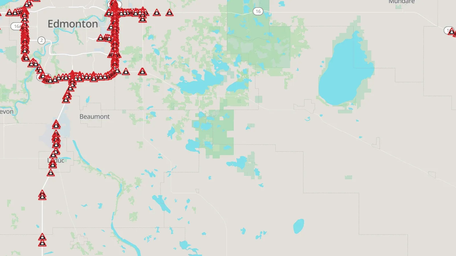
Restricted bridges with the posted under-clearance.
Routes for tall and heavy loads.
Source: 511 Alberta
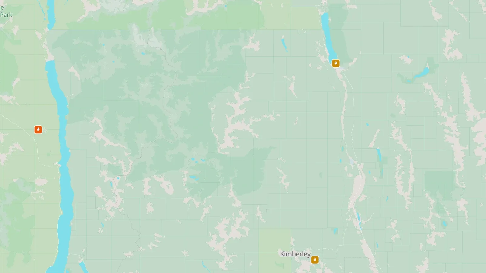
Wildfires burning now, coloured by status: out of control, being held, under control.
Crew safety and site access.
Source: Alberta Wildfire · BC Wildfire Service · CWFIS reported fires
This season's wildfires that are out.
Where it has burned this year.
Source: Alberta Wildfire · BC Wildfire Service · CWFIS reported fires
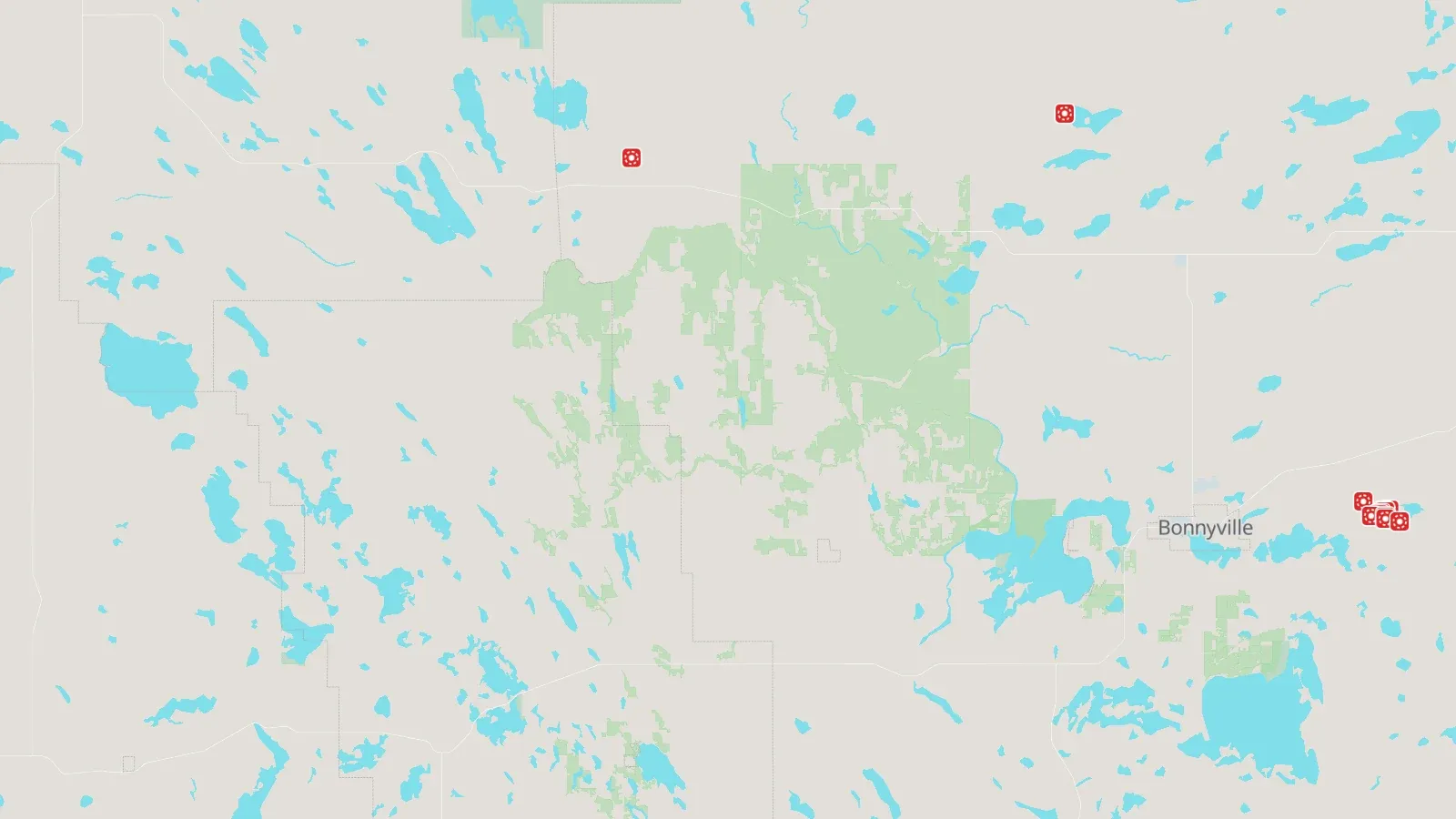
Satellite heat detections of the last 24 hours (MODIS, VIIRS).
Early sign of fire anywhere, including fires no agency lists yet.
Source: CWFIS interactive map
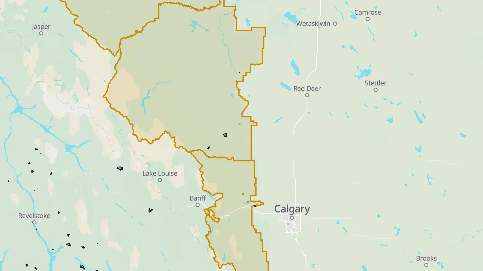
Fire bans, restrictions and closures in force, and mapped fire perimeters.
What work and access is allowed where (hot work, OHV use, closures).
Source: Alberta Fire Bans · BC Wildfire Service bans · Saskatchewan fire bans (SPSA) · Manitoba burning restrictions
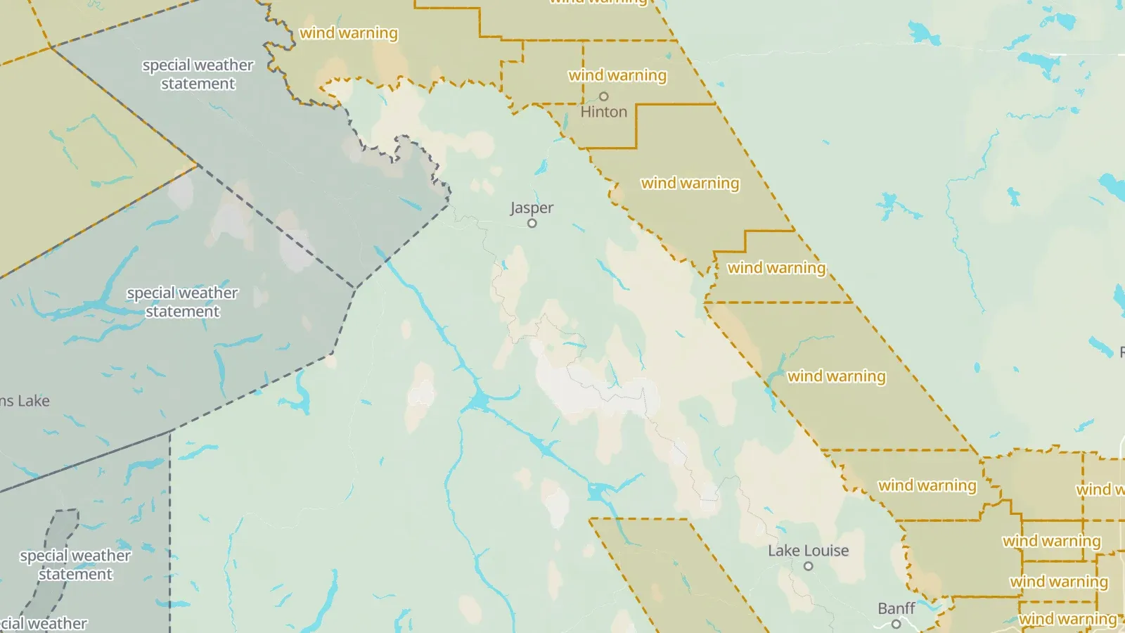
Environment Canada warnings, watches and advisories in effect, in the agency's risk colour.
Crew safety and travel planning.
Source: Environment Canada alerts
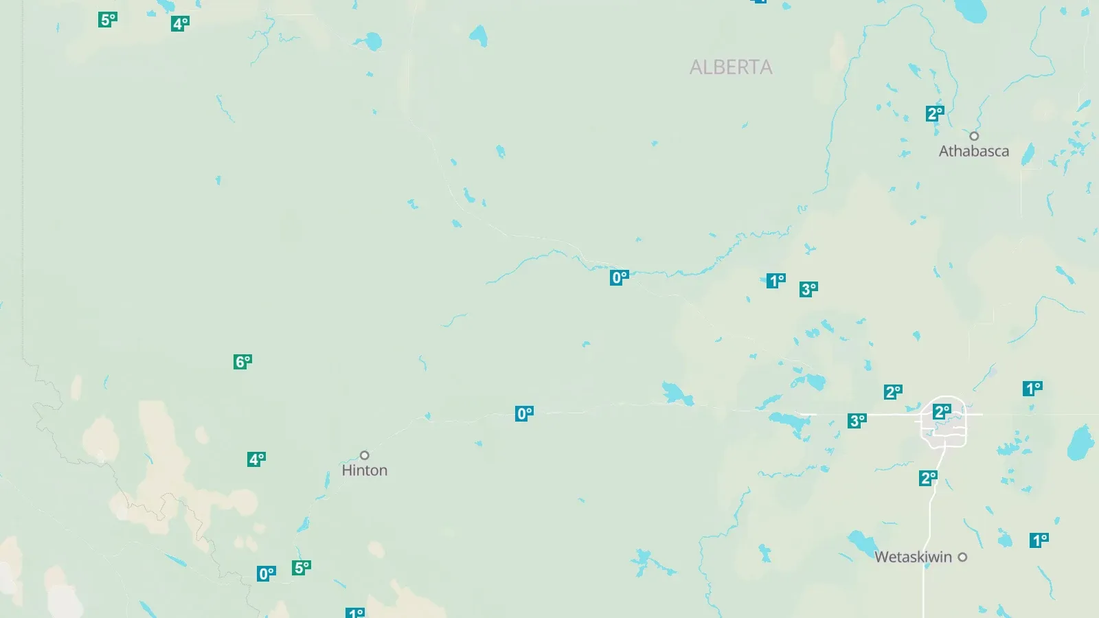
The latest hourly observation at every weather station: temperature, wind and gusts, humidity, pressure, precipitation, snow depth, visibility.
Site conditions for crews; the briefing reads the nearest station.
Source: Environment Canada surface weather observations (SWOB)
Earthquakes of the last 30 days, sized by magnitude; mining or industry-related events in a second colour.
Induced seismicity near disposal and hydraulic fracturing.
Source: Earthquakes Canada
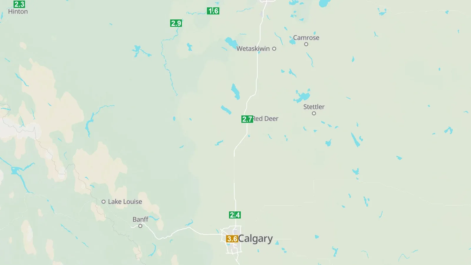
Latest hourly Air Quality Health Index at each station, coloured by risk band.
Smoke and air quality for crews.
Source: Environment Canada AQHI
Open natural events of the last 60 days (fires, storms, floods, volcanoes) from NASA EONET.
A wider view of natural hazards beside the provincial feeds.
Source: NASA EONET
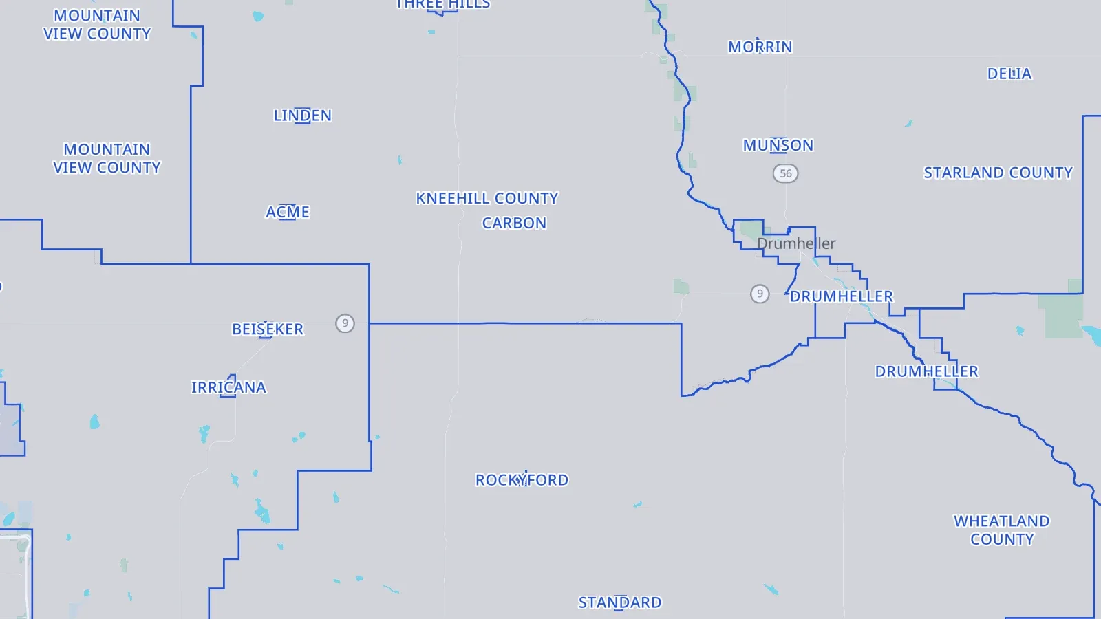
Legal municipal boundaries: Alberta (incl. Métis settlements), BC municipalities and regional districts, Saskatchewan, Manitoba.
Which municipality a site is in: taxes, road use, bylaws.
Source: Alberta Geospatial · DataBC · Saskatchewan GeoHub · Manitoba Land Initiative
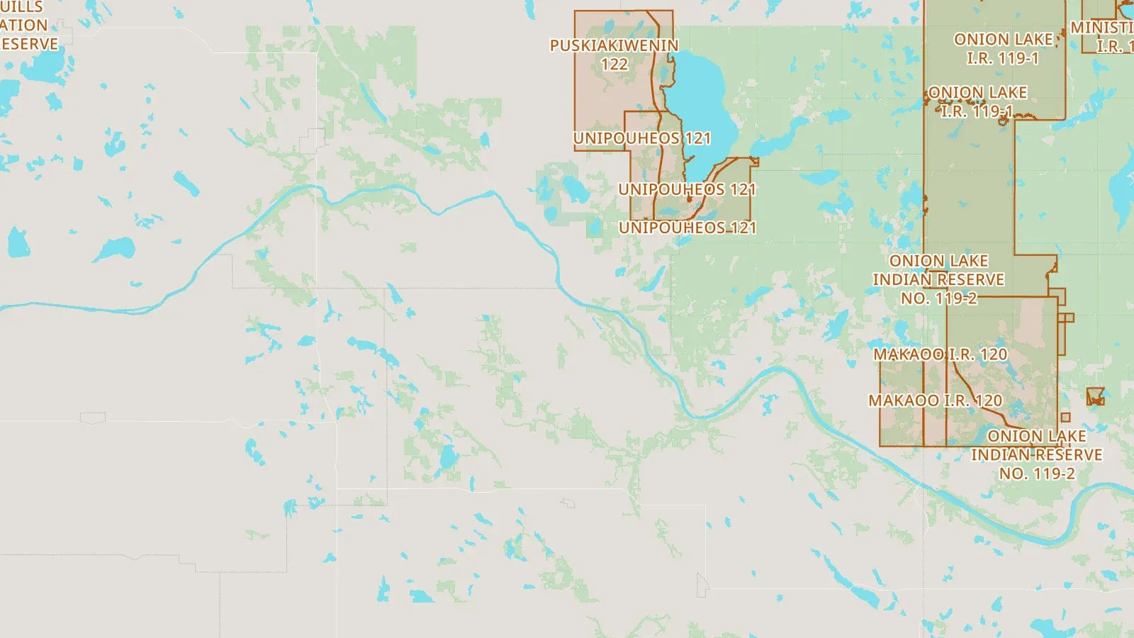
Indian reserves, land-claim settlement lands and other Indigenous lands.
Consultation and access context.
Source: Canada Lands Survey System
The 17 historic treaty areas.
Consultation context.
The provinces and territories, one outline each.
A province as a place: a results limit for every layer, a place in the search bar (in: AB).
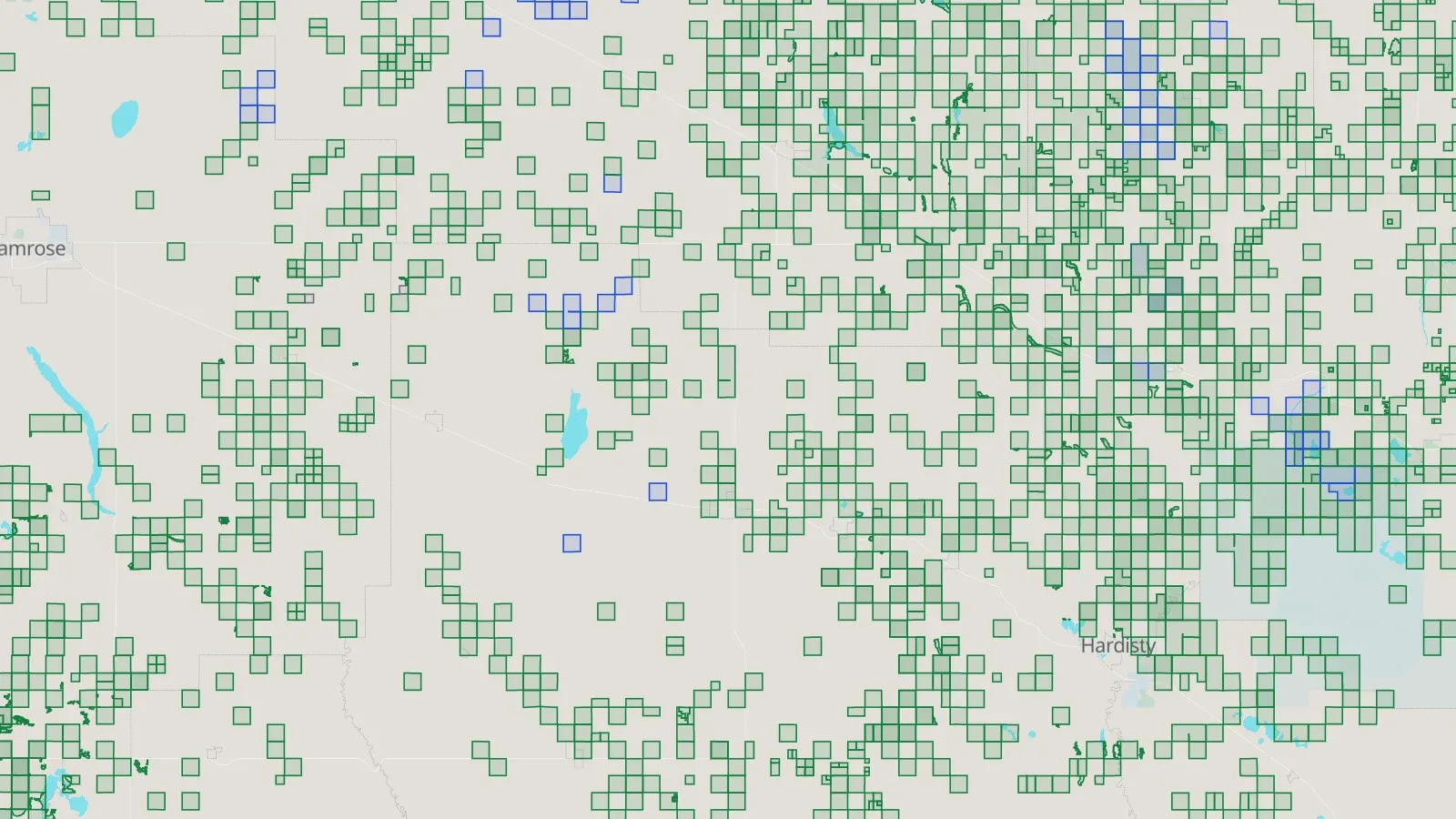
Crown petroleum and natural gas agreements in force (leases, licences, permits, oil sands), coloured by kind; BC's cancelled and expired titles dashed grey.
Who holds the rights on a parcel, and since when.
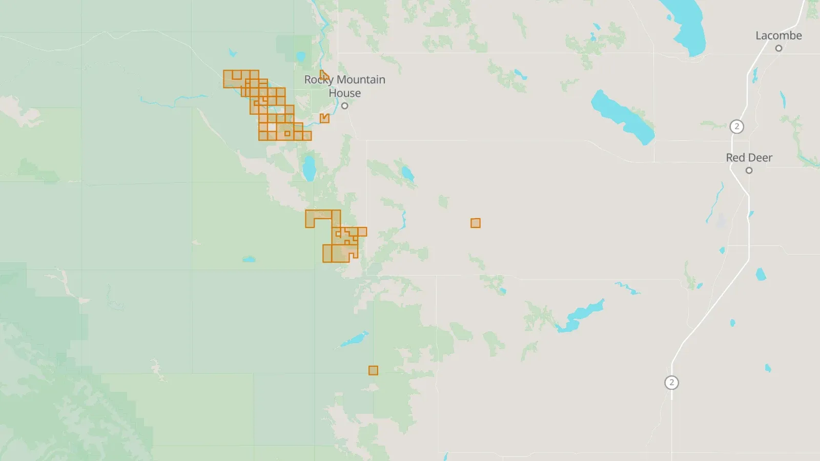
Parcels posted for the next Crown rights sale, with the sale date and rights offered.
Where companies are about to bid, and where land, seismic and drilling work follow.
Saskatchewan unit boundaries and pool land outlines.
Unitized production areas and who operates them.
Source: Saskatchewan Petroleum GIS